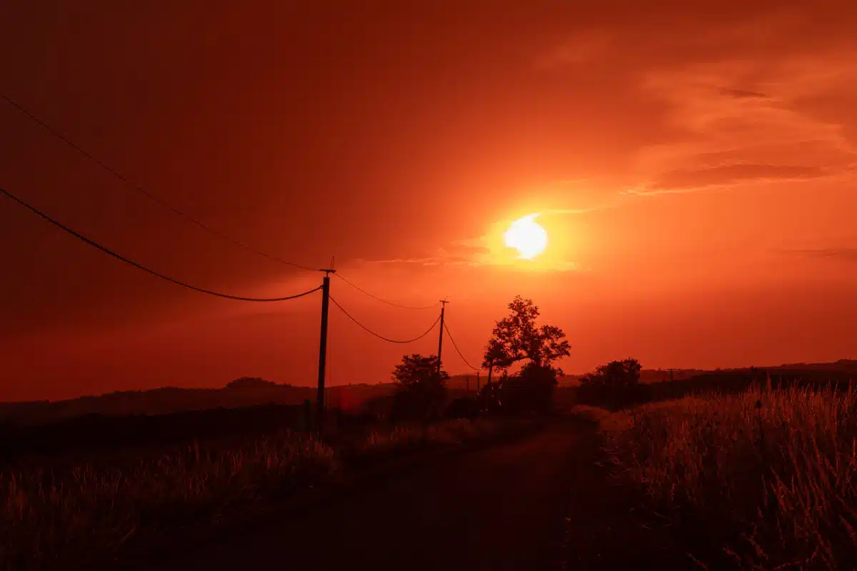
As mainland France still recovers from the June 2026 heatwave, Météo-France has issued a new heat alert for next week, from Monday 11 to Sunday 17 August 2026. Weather models converge on orange then red warnings spreading from south to north, with highs of 38–42°C in the south-east and 34–38°C forecast in Paris on Thursday. WOP360 summarises official forecasts, prefecture measures, links with drought and wildfires, and health guidance — with links to bulletins at meteofrance.com, our France desk and Climate section. For the June episode, see our France heatwave June 2026 report.
This second summer episode comes amid persistent drought and high wildfire risk across large parts of the country — covered in our investigation France wildfires 2026 and climate change. Tropical nights could affect more than half the country from Wednesday; health authorities are activating departmental heatwave plans before the first red bulletin. See also our Europe desk for regional context.
Météo-France forecast: calendar for 11–17 August
According to forecast bulletins published on Saturday 8 August 2026, the heatwave will build progressively from Monday 11 August. A hot air mass of Saharan origin — already responsible for extreme temperatures in Spain and the Maghreb — will move up the Rhône valley on Monday and Tuesday, then reach the Paris basin and north-east between Wednesday and Thursday.
Tuesday 12 August: orange alert expected in roughly ten south-east departments (Bouches-du-Rhône, Var, Vaucluse, Gard, Hérault, Pyrénées-Orientales). Local highs 36–39°C on the Mediterranean plain.
Wednesday 13 August: extension towards central and south-west France; around twenty departments may move to orange. Warm nights (> 20°C) across the southern half.
Thursday 14 August — the most critical day in current models: possible red alert in 25–35 departments, from Occitania to Île-de-France. Paris targeted at 34–38°C depending on urban heat island effects.
Friday 15 August (Assumption public holiday): thermal plateau maintained; uncertainty over possible easing from the west late in the day.
Weekend 16–17 August: cooling possible from the west, but Météo-France warns night-time minima will stay high for several days after the daytime peak.
Alert map: orange and red warnings, south to north
As in June, Météo-France mapping should follow a geographic logic: south-east and Languedoc on maximum alert from Tuesday, the centre (Loire Valley, Burgundy) on Wednesday, then the northern half on Thursday. Atlantic coastal departments may stay on orange longer thanks to a moderate sea breeze, without ruling out 35°C peaks inland.
- Red: extreme danger — follow prefecture orders, limit non-essential travel at peak heat
- Orange: high vigilance — hydration, checks on vulnerable people, avoid outdoor exertion in direct sun
- Yellow: moderate vigilance — notable heat but below national heatwave thresholds
Bulletins update at 6 a.m. and 4 p.m. An orange-to-red upgrade can happen intraday if models confirm. WOP360 will republish major changes; the official map remains the reference for your postcode.
Expected temperatures: 38–42°C in the south, Paris on Thursday
Forecast highs for the week of 11 August place the south-east quarter between 38 and 42°C on Thursday and Friday. Local August records could be approached or broken at Nîmes, Montpellier, Avignon and Marseille (Marignane airport).
In the south-west, Bordeaux and Toulouse show forecasts between 36 and 40°C mid-week. The centre (Tours, Orléans, Dijon) could reach 37–39°C on Thursday.
In Paris and the inner suburbs, Météo-France projects 34–38°C on Thursday 14 August — with feel-like temperatures amplified by +2 to +4°C in dense zones (République, Nation, La Défense) through the urban heat island effect. Lyon and Strasbourg follow similar ranges (36–39°C).
Night-time minima may not fall below 22–25°C in the worst-hit cities between Wednesday and Saturday — exceeding the tropical night threshold across a broad east-west band.
Tropical nights and continuous thermal stress
Like June's episode, this wave is defined as much by hot nights as by daytime peaks. Météo-France estimates more than 55% of the country could experience tropical nights (minimum ≥ 20°C) between Wednesday 13 and Saturday 16 August.
Without overnight cooling, the body cannot recover — a major risk for older adults, infants, night workers and people without shelter. Health services expect 20–35% more SAMU emergency calls in red departments, based on June 2026 experience.
Care homes and nurseries apply reinforced protocols from Monday: night ventilation, air-conditioning in common areas, limited afternoon outings. City halls in Lyon, Marseille, Toulouse and Paris have announced air-conditioned rooms open overnight for people with no cooling at home.
Drought, wildfires and the heat link
France is emerging from a July marked by rainfall deficits across two thirds of the territory. Dried soils and stressed vegetation amplify wildfire risk — developed in our article France wildfires 2026: climate change and forest fires.
The civil security directorate stresses that heatwave + drought + wind is the most dangerous combination for Mediterranean and Atlantic massifs. Several south-east departments maintain bans on access to certain forest areas; 15 August fireworks are banned or heavily restricted in around fifty municipalities.
Farmers report yield losses on summer crops (maize, sunflower) and pressure on irrigation. Water restrictions ("vigilance" or "alert" levels) remain in force in the Rhône-Méditerranée and Adour-Garonne basins.
Comparison with the June 2026 heatwave
The June 2026 episode — 58 departments on red alert, hottest day since 1947 — remains the reference. Our full analysis is here: France heatwave 2026: red alert and record heat.
Key differences for August: the episode comes later in the season, with soils and aquifers already depleted after two dry summer months; geographic extent of red alert may be slightly smaller (25–35 departments vs 58 in June), but absolute temperatures in the south-east could match or exceed June peaks locally.
Météo-France describes August 2026 as a "second major episode" in an already exceptional year. June's lesson — early communication, cool shelters, monitoring isolated people — must be reactivated without delay.
Prefecture measures and heatwave plans
Prefects in affected departments are convening "heatwave" crisis cells this weekend. The national plan has three levels; level 3 (maximum mobilisation) could be activated on Thursday in red zones.
- Opening air-conditioned public rooms (gyms, cultural centres, libraries)
- Strengthened social patrols and volunteer appeals to identify isolated elderly people
- Postponement or cancellation of outdoor events (markets, concerts, sports competitions)
- Adapted hours for public works and waste collection in early morning
- Coordination with employment services and the 115 helpline for people without housing
The Education Ministry notes schools are closed in August; however, holiday camps and leisure centres apply reinforced protocols (supervised water activities, mandatory rest periods, hourly hydration).
Health guidance and vulnerable groups
- Drink water regularly; avoid alcohol and very sugary drinks in daytime heat
- Cool the body and stay in the coolest room for several hours daily
- Do not leave children, elderly people or pets in parked cars — interior temperature exceeds 50°C in under 30 minutes
- Swim only in supervised areas; heat increases drowning and fainting risk
- Adjust work and sport schedules; wear light, loose clothing
- Call 15 (SAMU) or European emergency 112 if someone feels unwell
Isolated elderly people remain the priority target: daily contact, checking indoor temperature stays below 26°C if possible, referral to welcome centres listed by town halls. Pregnant women, overweight people and those on certain medications (diuretics, neuroleptics) face higher risk.
Energy and transport under strain
RTE forecasts record electricity demand on Thursday 14 August, comparable to the June 2026 peak when national air-conditioning pushed consumption beyond 90 GW. Enedis reminds users of guidance during local outages: do not overload neighbourhood generators, report people dependent on medical equipment.
SNCF and RATP announce enhanced monitoring of tracks (rail expansion) and carriages (air-conditioning sometimes insufficient in older rolling stock). Slowdowns are possible on TGV Sud-Est and Intercités Mediterranean lines. Motorists are advised to carry water, check tyre pressure and avoid long motorway queues at peak heat (2 p.m.–6 p.m.).
Airports in Paris, Lyon and Nice may see delays linked to runway constraints in extreme heat; airlines discourage excess hold luggage to limit waiting time on the tarmac.
Daily impact: farming, tourism, economy
Summer harvests continue in central and northern France; farmers advance work to dawn to limit exposure. Livestock faces heat stress: increased watering, building shade, sometimes stopping midday milking in southern dairy farms.
Coastal tourism is at peak capacity — Mediterranean and Atlantic resorts saturated — while many forests stay closed. Supermarkets prepare reinforced supplies of bottled water, fans and sunscreen.
Food retailers shift deliveries to early morning to protect cold chains. Urban construction sites may be suspended on Thursday in red departments, under branch agreements and prefectural orders.
Climate context: a second major summer episode
After June 2026, this August wave confirms an exceptional year for heat in France. Climate observatories link increased episode frequency to rising thermal baselines and stronger resident anticyclones over western Europe.
Spain, Italy and the Maghreb face parallel waves; European electricity interconnections will be stressed. WOP360 covers these events as a public-information service: citing Météo-France, avoiding speculation on death tolls, pointing to official guidance. Follow Climate and our Europe desk.
Public health: warning signs and helplines
Health services urge calling 15 (SAMU) immediately for confusion, collapse, lack of sweating despite heat, rapid pulse, persistent vomiting, or fever above 40°C. Dehydration shows as dark urine, dizziness and intense thirst.
112 (European emergency) and 18 (fire service) remain available. In confirmed heatstroke, cool the person (water on skin, fan, ice on neck and wrists) while waiting for help.
On-duty pharmacies and community health centres can direct people to municipal hydration points. Check your prefecture website for facilities open next week.
Indicative list of departments to watch (8 August forecasts)
Météo-France will refine mapping at each bulletin. Based on 8 August models, the following territories have the highest probability of moving to orange then red between Tuesday and Thursday (indicative, non-exhaustive):
- South-east: Bouches-du-Rhône, Var, Alpes-Maritimes, Vaucluse, Gard, Hérault, Pyrénées-Orientales, Drôme, Ardèche
- South-west: Haute-Garonne, Tarn, Tarn-et-Garonne, Gers, Lot-et-Garonne, Gironde, Landes
- Centre and east: Rhône, Loire, Saône-et-Loire, Côte-d'Or, Nièvre, Yonne, Aube, Marne
- Île-de-France and north: Paris, inner suburbs, Oise, Seine-et-Marne, sometimes Nord and Pas-de-Calais late week
Breton and Norman coastal departments may stay on yellow or moderate orange thanks to ocean influence, without ruling out occasional peaks. Check the official map for your situation.
Expert analysis (E-E-A-T)
"A second heatwave in two months, amid drought, changes operational reality: this is no longer an exception but a summer sequence. The week of 11 August demands the same rigour as June — cool shelters, identifying isolated people, explicit links between heat and fire risk — with a population sometimes exhausted by the first shock." — Claire Dubois, WOP360 Climate editor
Frequently asked questions (FAQ)
When does the France heatwave start next week?
Météo-France forecasts a progressive build from Monday 11 August 2026, with a likely peak Thursday 14 August. Orange alert could reach the south-east from Tuesday.
What temperatures are forecast for Paris on Thursday?
Between 34 and 38°C according to 8 August models, with amplified feel in the city centre from the urban heat island. Nights will stay warm (22–25°C).
How many departments will be on red alert?
Forecasts suggest 25–35 departments on Thursday 14 August — fewer than June (58), but with comparable local peaks in the south-east (38–42°C).
Is this heatwave linked to wildfires in France?
Yes: drought and dried vegetation amplify fire risk. See our France wildfires 2026 article. Forest access and 15 August fireworks may be banned.
How does it differ from the June 2026 heatwave?
Likely smaller red footprint, but drier soils and a population already stressed. Local records possible in the south-east. June analysis on WOP360.
Where to follow the heatwave live?
Official updates at meteofrance.com, prefecture channels, and WOP360 /france · /category/climate · /region/europe (English: add ?lang=en).
What to do if someone feels unwell from the heat?
Call 15 (SAMU) or 112. Cool the person, hydrate if conscious, avoid exertion. Follow municipal heatwave plan guidance.
Conclusion and next steps
The August 2026 heatwave, expected from 11 to 17 August, looks set to be the second major summer episode after June. Orange and red alerts, tropical nights, links with drought and wildfires: stay informed via Météo-France, apply prevention advice, and check on isolated neighbours.
WOP360 — France desk · Climate · Europe · June 2026 heatwave · Wildfires 2026.


